A government plan to map residential areas in rural India and issue title deeds could benefit hundreds of millions of people, but exclude lower-caste communities and those traditionally denied land, human rights experts said on Monday.
Prime Minister Narendra Modi last week unveiled Swamitva Yojana, or Ownership Scheme, to map rural residential land for the first time in many Indian states, using drones and other technologies.
The programme will be piloted in six states, and the titles can be used as collateral for loans, the prime minister said. It will also generate more revenue for states, which can be used to fund infrastructure and other public facilities.
“Most residential properties in rural areas don’t have proper ownership documents, and only providing people with a title deed can change that,” Modi said in a video address.
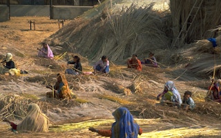
While India’s agricultural land was surveyed in the British colonial period, areas where homes were built in villages – known as abadi land and measuring no more than 0.5 sq km (0.2 sq mile) – were considered as wasteland and rarely surveyed.
As India’s population expanded and pressure on land grew for farming and for building roads and airports, disputes over land ownership have increased, with about two-thirds of civil court cases related to land and property, according to researchers.
A federal land record modernisation programme launched in 2008 seeks to re-survey all lands, verify and upgrade records, and put all the information online by 2021.
Authorities have said this will help monitor land sales better, increase tax revenue and reduce corruption.
Some states, including Maharashtra and Odisha, had also launched surveys of rural, residential land. NO ACCESS
Digitisation of records could exclude lower-caste communities who have traditionally been denied land, and make them more vulnerable to evictions, land experts said.
“Property disputes in villages arise mainly as a result of manipulation of land records by officials. Also, when land holdings are not properly surveyed,” said EAS Sarma, a land activist and former government official.
“Digitisation has worsened the situation because it has reduced transparency for small farmers who find it difficult to access digital records,” he told the Thomson Reuters Foundation.
Surveys of land must be conducted transparently, and records reviewed by all residents, Sarma said, otherwise disputes will persist and influential people will continue to gain at the expense of the marginalised.
The Swamitva Yojana also does not specify whether titles will be given jointly to women, and if customary titles that do not have a written record - such as those held by indigenous people - will be recognised, said Namita Wahi, a fellow at the Centre for Policy Research think tank in Delhi.
“The absence of recognition of customary titles, especially over village commons, may create further opportunities for land grabs of common lands, which is one of the biggest causes of land conflict in India,” she said.
“Minus a proactive attempt to include Dalits, Adivasis (indigenous people) and women, there is a real danger of them being excluded,” she said.
This story was published with permission from Thomson Reuters Foundation, the charitable arm of Thomson Reuters, that covers humanitarian news, climate change, resilience, women’s rights, trafficking and property rights. Visit http://news.trust.org/climate.


